Coordinate System
TatukGIS Free Coordinate Calculator v.1.2.3.34
This free Windows application interactively converts the coordinates of a point between coordinate systems. The version 2 reflects the same coordinate system support as the TatukGIS Developer Kernel (v.9) and TatukGIS desktop Editor (v.
KMaps v.1.0
Color-coding maps made easy. KMaps is a mapping software to color-code maps on an XY coordinate system.KMaps Features: 1. Creates color-coded maps on an XY coordinate system 2. Reads from databases defined in an XML file 3. Imports and diplays
CHT - Cartesian HTML Table v.2.0
A JavaScript component that allows an ordinary HTML table to be visually browsed both in the 'X' and 'Y' axis, as a Cartesian Coordinate System.
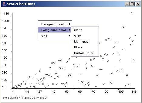
JChart2D v.3.2.2
JChart2D is a easy to use component for displaying two- dimensional traces in a coordinate system written in Java.
TerraVision v.6.0
TerraVisionTM is an Open Source distributed, interactive terrain visualization system developed by SRI International.
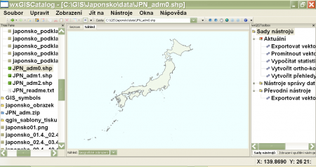
WxGIS Portable v.0.4.1
wxGIS is a useful application that allows you to manage and to organize multiple types of geographic information.
FlightDisplay v.7.0.0.3
'Flight Display' allows you to display data from a GPS logger on images of sectional maps (or other maps with longitude and latitude line references), to plan and display soaring tasks, to evaluate data from your GPS recorder competition style agains
Gismaps Viewer v.1. 3. 3524
Gismaps Viewer is a GIS viewer that can be used for geospatial analysis and map production.
PHOTOMOD GeoMosaic v.4.4.677
PHOTOMOD GeoMosaic is intended for working with various types of digital images, including aerial and space imagery as well as digitized raster maps.
Autodesk MapGuide SDF Loader v.6 5
You can use your existing digital (vector) maps in Autodesk MapGuide® software by converting them to Spatial Data Files (SDF). SDF is a special data format for delivering large amounts of data quickly over an intranet or the Internet.
AutoSolids A2K v.4 1
AutoSolids A2K supports AutoCAD 2000/2000i/2002 and their vertical applications including AutoCAD Mechanical, Mechanical Desktop, and Architectural Desktop.
SHPTRANS v.1. 1. 2004
SHPTRANS is a fast, high-precision NTv2 datum transformation and projection utility which reads and writes shapefiles. SHPTRANS is intended to complement, not replace, existing projection tools such as those within ArcView GIS 3.x and ArcGIS 8.x.